Kamarooka VIC 3570
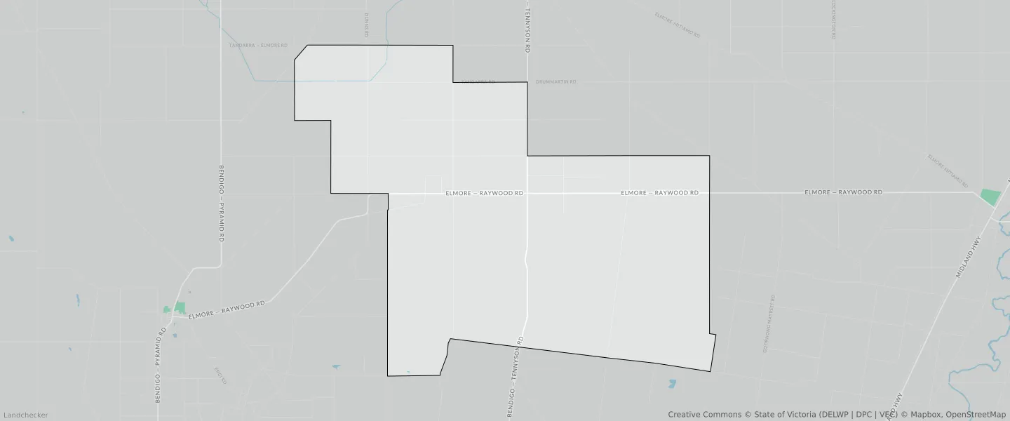
This Kamarooka suburb profile includes demographic data and planning information to help you make an informed property decision.
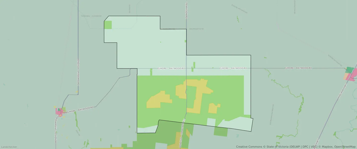
An average home in Kamarooka is owned with a mortgage by couples without children. The average age in Kamarooka is 43. Separate houses are common in Kamarooka and the area is mostly PUBLIC CONSERVATION AND RESOURCE ZONE (36.7%), FARMING ZONE (31.12%) and FARMING ZONE (22.79%).
Kamarooka demographics
Population
89
Average Age
43
Age Distribution
Employment Type
Median Weekly Income
Traveled to Work
Car
57.6%
Tram
0.0%
Bicycle
0.0%
Train
0.0%
Walking
0.0%
Bus
0.0%
Kamarooka property information
Number of Bedrooms
Tenure Type
Property Types in Kamarooka
Separate house
Semi detached house
Unit/Apartment
Median monthly mortgage repayments
$1,271
Median weekly rental payments
$205
Average number of bedrooms per dwelling
3.4
Average number of people per household
3
Household Composition
Family Composition
Couple family without children
One parent family
Couple family with children
KAMAROOKA planning zones
| Zone Code | Zone Name | Percentage Covered | Area Covered | |
|---|---|---|---|---|
| FZ | FARMING ZONE | 31.12% | 53,014,695.44㎡ | |
| FZ | FARMING ZONE | 22.79% | 38,846,074.21㎡ | |
| PCRZ | PUBLIC CONSERVATION AND RESOURCE ZONE | 36.7% | 62,507,605.58㎡ | |
| PCRZ | PUBLIC CONSERVATION AND RESOURCE ZONE | 0.54% | 919,786.77㎡ | |
| RCZ | RURAL CONSERVATION ZONE | 8.41% | 14,322,620.92㎡ | |
| TRZ2 | TRANSPORT ZONE | 0.44% | 745,034.39㎡ |
Looking to research a property in KAMAROOKA?
Go to mapData Source - ABS