Kurnell NSW 2231
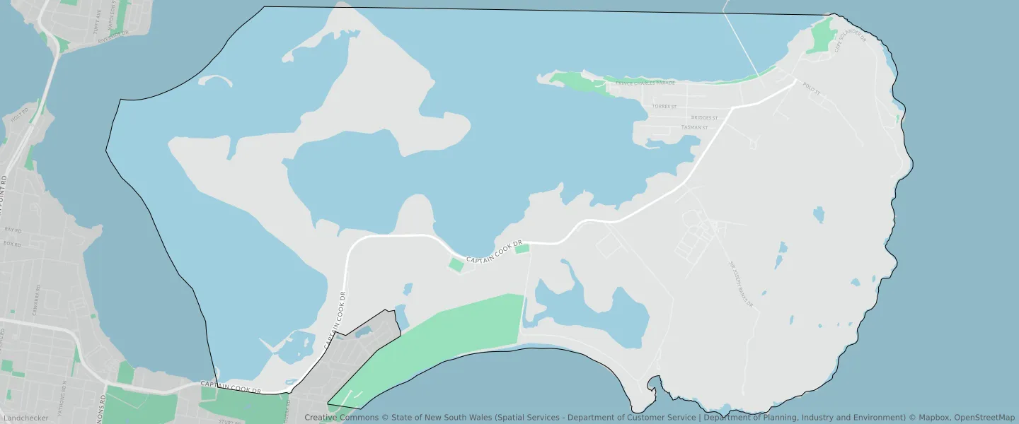
This Kurnell suburb profile includes demographic data and planning information to help you make an informed property decision.
An average home in Kurnell is owned with a mortgage by couples with children. The average age in Kurnell is 38. Separate houses are common in Kurnell and the area is mostly Environmental Living (37.82%), National Parks and Nature Reserves (27.84%) and National Parks and Nature Reserves (25.78%).
Kurnell demographics
Population
2528
Average Age
38
Age Distribution
Employment Type
Median Weekly Income
Traveled to Work
Car
86.8%
Tram
0.0%
Bicycle
1.4%
Train
0.4%
Walking
2.9%
Bus
0.4%
Kurnell property information
Number of Bedrooms
Tenure Type
Property Types in Kurnell
Separate house
Semi detached house
Unit/Apartment
Median monthly mortgage repayments
$2,600
Median weekly rental payments
$550
Average number of bedrooms per dwelling
3.4
Average number of people per household
3
Household Composition
Family Composition
Couple family without children
One parent family
Couple family with children
KURNELL planning zones
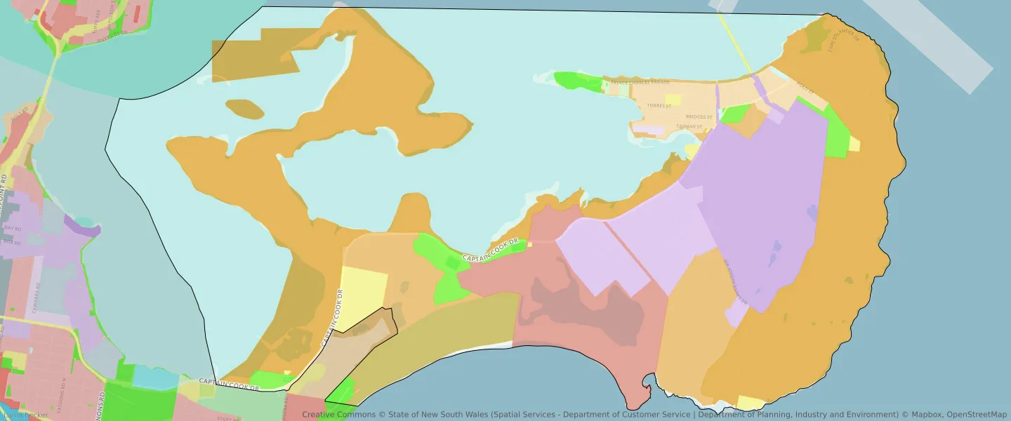
| Zone Code | Zone Name | Percentage Covered | Area Covered | |
|---|---|---|---|---|
| C1 | National Parks and Nature Reserves | 25.78% | 8,420,532.54㎡ | |
| C1 | National Parks and Nature Reserves | 27.84% | 9,091,693.14㎡ | |
| C1 | National Parks and Nature Reserves | 13.51% | 4,411,900.09㎡ | |
| C2 | Environmental Conservation | 8.99% | 2,935,265.17㎡ | |
| C4 | Environmental Living | 2.5% | 816,065.31㎡ | |
| DM | Deferred Matter | 6.63% | 2,163,913.95㎡ | |
| E1 | Local Centre | 0.06% | 19,638.26㎡ | |
| E2 | Commercial Centre | 1.61% | 527,261.42㎡ | |
| E4 | General Industrial | 4.55% | 1,486,868.41㎡ | |
| E5 | Heavy Industrial | 7.52% | 2,455,256.45㎡ | |
| RE1 | Low Density Residential | 2.22% | 723,875.16㎡ | |
| RE2 | Private Recreation | 0.17% | 54,293.32㎡ | |
| SP2 | Infrastructure | 1.36% | 442,562.27㎡ | |
| UL | Unzoned Land | 0.21% | 69,653.18㎡ | |
| UL | Unzoned Land | 0.36% | 116,836.74㎡ | |
| W1 | Environmental Living | 12.77% | 4,170,921.73㎡ | |
| W1 | Environmental Living | 37.82% | 12,352,260.89㎡ | |
| W2 | Recreational Waterways | 0% | 130.28㎡ |
Looking to research a property in KURNELL?
Go to mapData Source - ABS