Luddenham NSW 2745
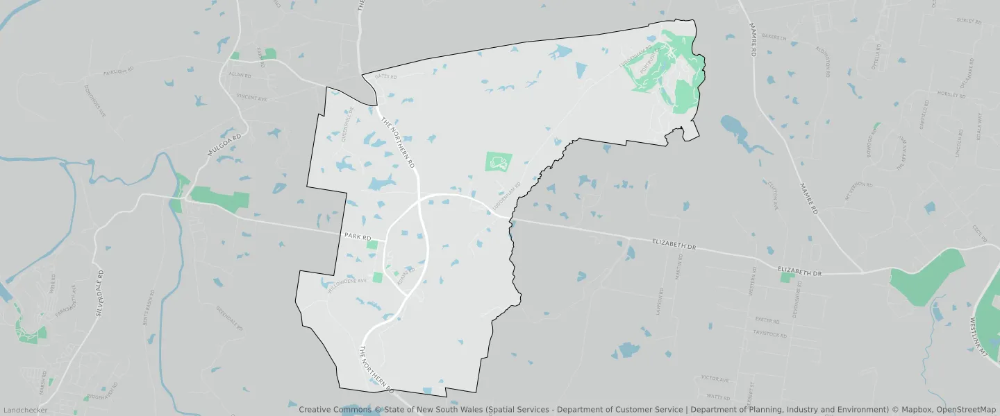
This Luddenham suburb profile includes demographic data and planning information to help you make an informed property decision.
An average home in Luddenham is owned with a mortgage by couples with children. The average age in Luddenham is 37. Separate houses are common in Luddenham and the area is mostly Rural Landscape (19.52%), Infrastructure (17.9%) and Enterprise (17.65%).
Luddenham demographics
Population
1927
Average Age
37
Age Distribution
Employment Type
Median Weekly Income
Traveled to Work
Car
83.7%
Tram
0.0%
Bicycle
0.0%
Train
0.0%
Walking
2.8%
Bus
0.0%
Luddenham property information
Number of Bedrooms
Tenure Type
Property Types in Luddenham
Separate house
Semi detached house
Unit/Apartment
Median monthly mortgage repayments
$3,000
Median weekly rental payments
$480
Average number of bedrooms per dwelling
4.1
Average number of people per household
4
Household Composition
Family Composition
Couple family without children
One parent family
Couple family with children
LUDDENHAM planning zones
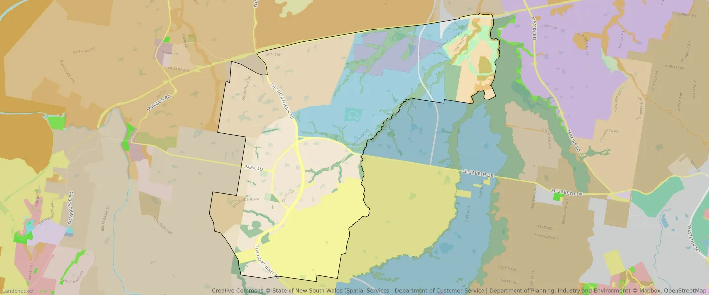
| Zone Code | Zone Name | Percentage Covered | Area Covered | |
|---|---|---|---|---|
| AGB | Agribusiness | 15.32% | 6,541,042.64㎡ | |
| AGB | Agribusiness | 7.58% | 3,239,364.34㎡ | |
| C2 | Environmental Conservation | 1.87% | 797,107.86㎡ | |
| C4 | Environmental Living | 3.61% | 1,541,835.02㎡ | |
| ENT | Enterprise | 0.03% | 11,416.15㎡ | |
| ENT | Enterprise | 17.65% | 7,539,821.63㎡ | |
| ENZ | Environment and Recreation | 1.8% | 768,501.35㎡ | |
| ENZ | Environment and Recreation | 5.94% | 2,539,562.16㎡ | |
| MU | Mixed Use | 4.69% | 2,002,708.44㎡ | |
| RE2 | Private Recreation | 2.02% | 862,438.17㎡ | |
| RU1 | Primary Production | 2.07% | 884,878.73㎡ | |
| RU1 | Primary Production | 1.31% | 561,381.32㎡ | |
| RU1 | Primary Production | 0.66% | 280,803.02㎡ | |
| RU2 | Rural Landscape | 19.52% | 8,341,166.81㎡ | |
| RU4 | Primary Production Small Lots | 2.69% | 1,149,282.04㎡ | |
| SP2 | Infrastructure | 0.22% | 94,641.78㎡ | |
| SP2 | Infrastructure | 17.9% | 7,644,624.52㎡ | |
| SP2 | Infrastructure | 2.9% | 1,238,543.46㎡ |
Looking to research a property in LUDDENHAM?
Go to mapData Source - ABS