Manmanning WA 6465
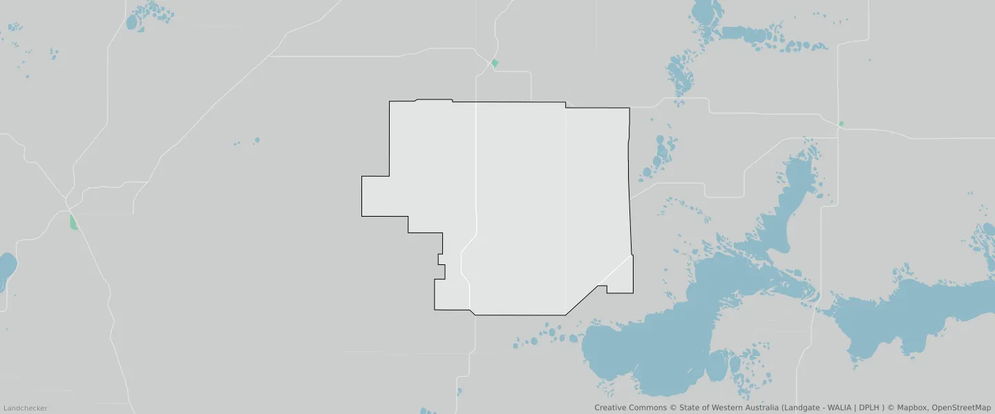
This Manmanning suburb profile includes demographic data and planning information to help you make an informed property decision.
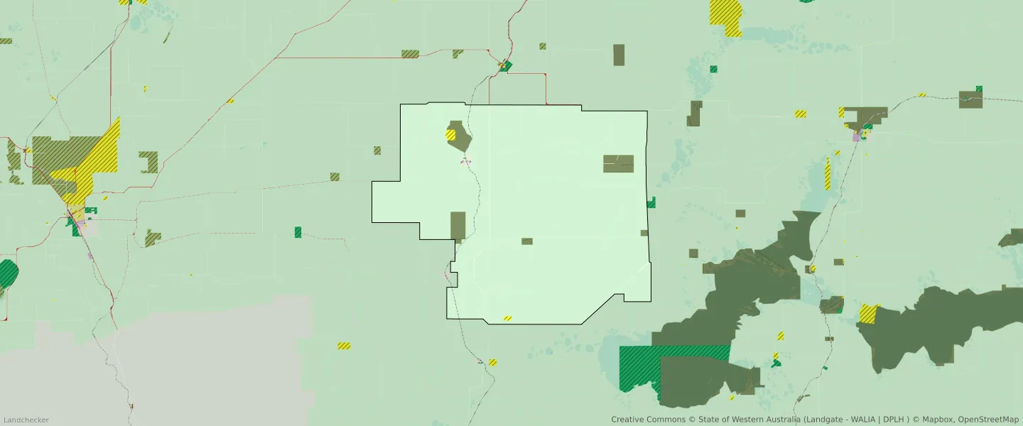
An average home in Manmanning is owned outright by couples without children. The average age in Manmanning is 60. Separate houses are common in Manmanning and the area is mostly RURAL ZONE (94.95%), RURAL (94.95%) and CONSERVATION (3.07%).
Manmanning demographics
Population
42
Average Age
60
Age Distribution
Employment Type
Median Weekly Income
Traveled to Work
Car
56.3%
Tram
0.0%
Bicycle
0.0%
Train
0.0%
Walking
25.0%
Bus
0.0%
Manmanning property information
Number of Bedrooms
Tenure Type
Property Types in Manmanning
Separate house
Semi detached house
Unit/Apartment
Median monthly mortgage repayments
$0
Median weekly rental payments
$50
Average number of bedrooms per dwelling
3.7
Average number of people per household
2
Household Composition
Family Composition
Couple family without children
One parent family
Couple family with children
MANMANNING planning zones
| Zone Code | Zone Name | Percentage Covered | Area Covered | |
|---|---|---|---|---|
| CONSERVATION | CONSERVATION | 3.07% | 12,805,674.82㎡ | |
| NO ZONE | NO ZONE | 0.01% | 30,798.82㎡ | |
| PARKS AND RECREATION | PARKS AND RECREATION | 0% | 13,478.34㎡ | |
| PARKS AND RECREATION | PARKS AND RECREATION RESERVE | 0% | 13,478.34㎡ | |
| PUBLIC PURPOSES | PUBLIC PURPOSES | 0.25% | 1,055,506.78㎡ | |
| PUBLIC PURPOSES | PUBLIC PURPOSES RESERVE | 0.25% | 1,055,506.78㎡ | |
| R10 | R10 | 0.01% | 32,197.44㎡ | |
| RAILWAY | RAILWAY | 0.3% | 1,263,508.64㎡ | |
| RURAL | RURAL | 94.95% | 395,968,078.2㎡ | |
| RURAL | RURAL ZONE | 94.95% | 395,968,078.2㎡ | |
| TOWNSITE | TOWNSITE | 0.16% | 648,824.95㎡ |
Looking to research a property in MANMANNING?
Go to mapData Source - ABS