The Basin NSW 2365
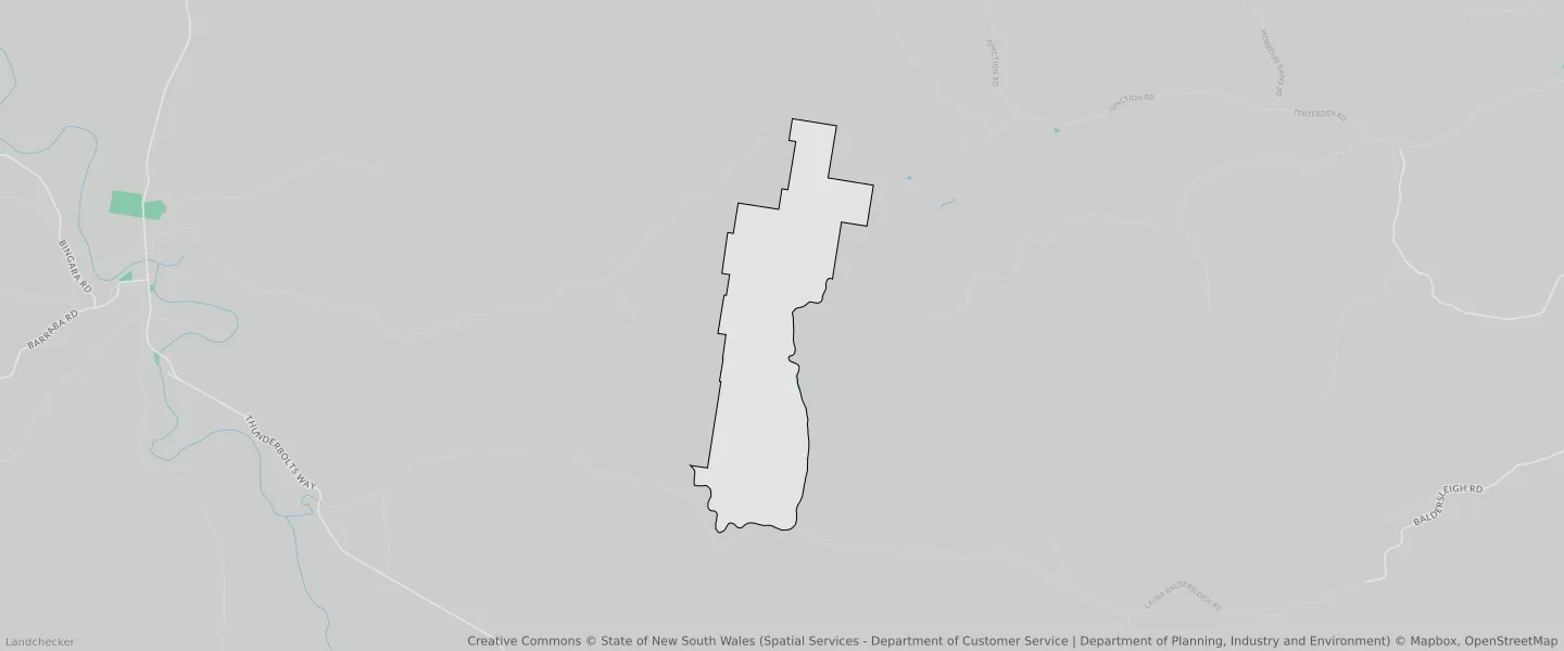
This The Basin suburb profile includes demographic data and planning information to help you make an informed property decision.
An average home in The Basin is other/not stated by group households. The average age in The Basin is 0. Units and Apartments are common in The Basin and the area is mostly National Parks and Nature Reserves (70.22%), Primary Production (29.78%) and Rural Landscape (0%).
THE BASIN planning zones
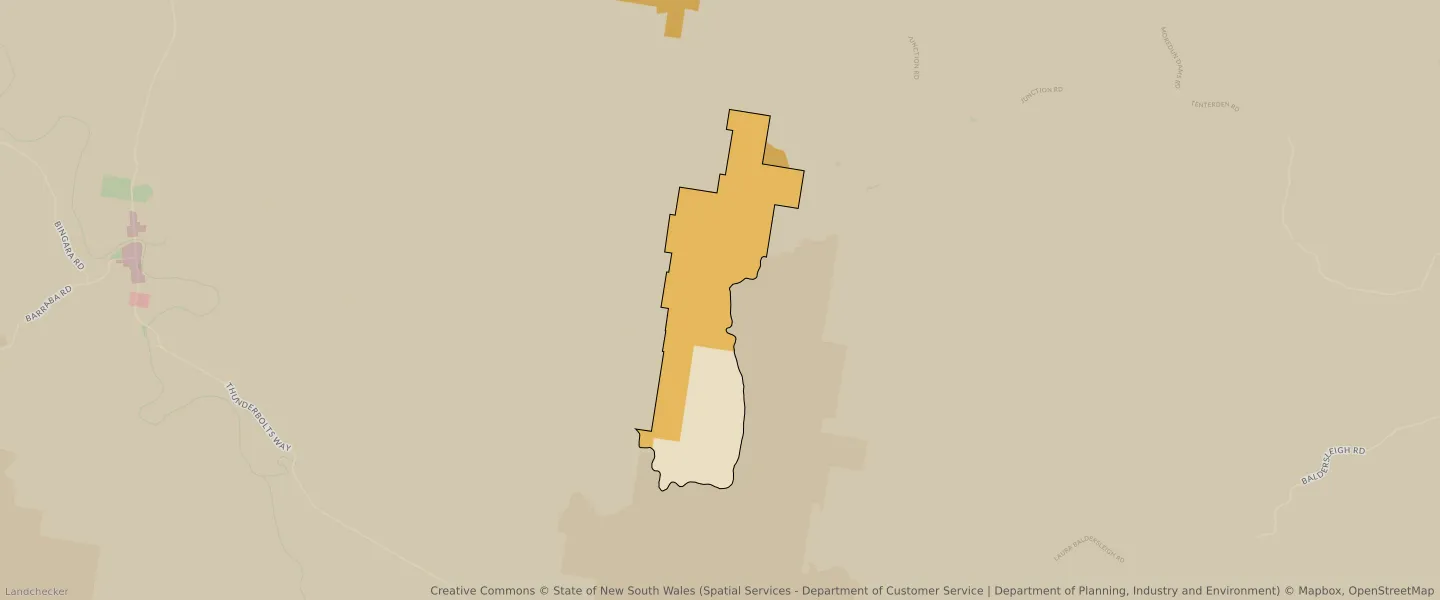
| Zone Code | Zone Name | Percentage Covered | Area Covered | |
|---|---|---|---|---|
| C1 | National Parks and Nature Reserves | 70.22% | 22,418,727.85㎡ | |
| RU1 | Primary Production | 0% | 66.6㎡ | |
| RU1 | Primary Production | 29.78% | 9,504,496.84㎡ | |
| RU1 | Primary Production | 0% | 91.34㎡ | |
| RU1 | Primary Production | 0% | 63.48㎡ | |
| RU2 | Rural Landscape | 0% | 705.79㎡ |
Looking to research a property in THE BASIN?
Go to mapData Source - ABS