Thornton NSW 2322
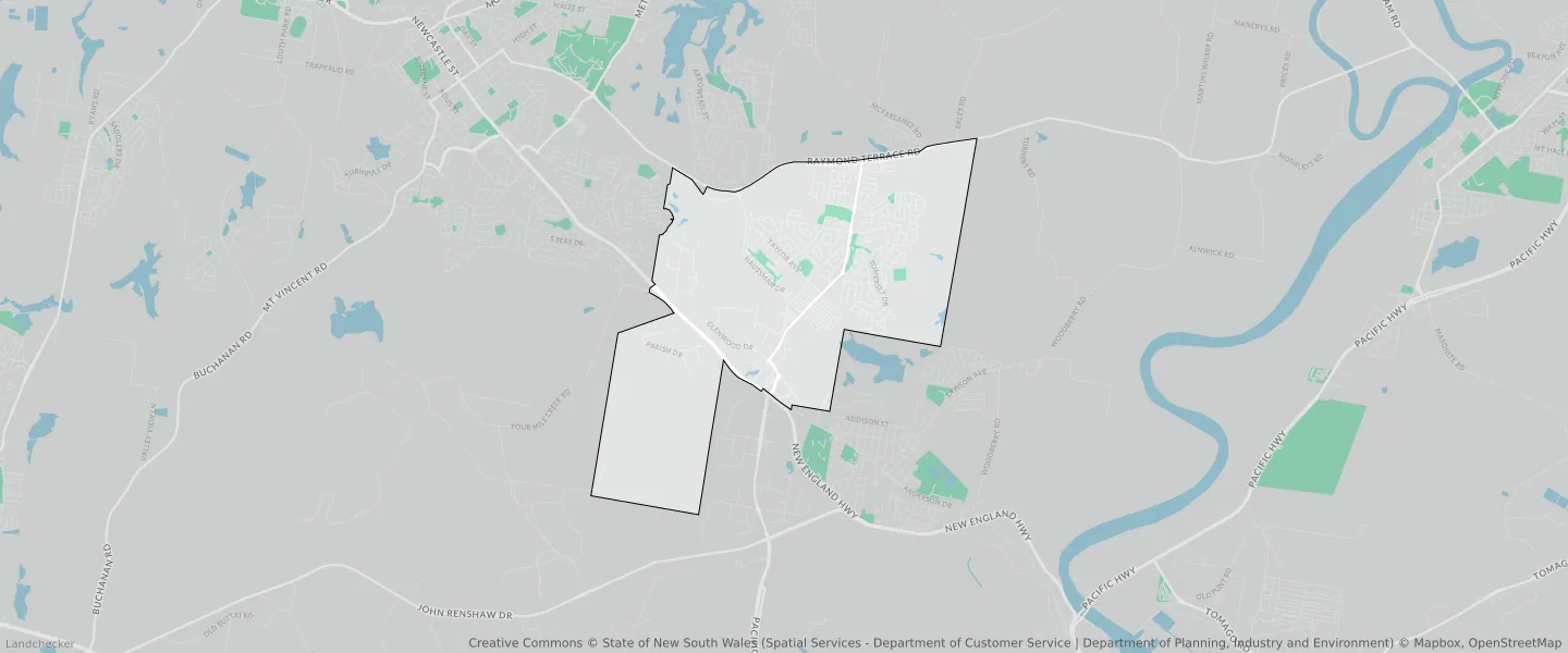
This Thornton suburb profile includes demographic data and planning information to help you make an informed property decision.
An average home in Thornton is owned with a mortgage by couples with children. The average age in Thornton is 32. Separate houses are common in Thornton and the area is mostly General Residential (25.33%), Rural Landscape (22.26%) and Environmental Conservation (16.21%).
Thornton demographics
Population
10690
Average Age
32
Age Distribution
Employment Type
Median Weekly Income
Traveled to Work
Car
89.7%
Tram
0.0%
Bicycle
0.1%
Train
0.6%
Walking
1.1%
Bus
0.4%
Thornton property information
Number of Bedrooms
Tenure Type
Property Types in Thornton
Separate house
Semi detached house
Unit/Apartment
Median monthly mortgage repayments
$1,800
Median weekly rental payments
$400
Average number of bedrooms per dwelling
3.6
Average number of people per household
3
Household Composition
Family Composition
Couple family without children
One parent family
Couple family with children
THORNTON planning zones
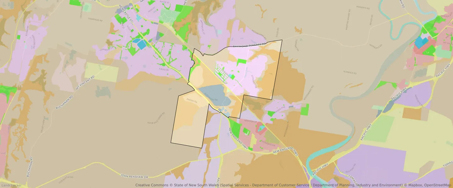
| Zone Code | Zone Name | Percentage Covered | Area Covered | |
|---|---|---|---|---|
| C2 | Environmental Conservation | 13.95% | 2,319,070.56㎡ | |
| C2 | Environmental Conservation | 10.78% | 1,792,091.59㎡ | |
| C3 | Environmental Conservation | 16.21% | 2,695,212.73㎡ | |
| C3 | Environmental Conservation | 8.75% | 1,455,426.12㎡ | |
| C4 | Environmental Living | 6.85% | 1,138,762.7㎡ | |
| C4 | Environmental Living | 3.39% | 564,468.44㎡ | |
| E1 | Local Centre | 0.13% | 21,623.51㎡ | |
| E3 | Business Development | 0.33% | 54,460㎡ | |
| E3 | Business Development | 9.46% | 1,573,551.93㎡ | |
| R1 | General Residential | 25.33% | 4,211,865.04㎡ | |
| RE1 | Low Density Residential | 2.16% | 358,704.3㎡ | |
| RE2 | Private Recreation | 0.11% | 18,270.79㎡ | |
| RU1 | Primary Production | 1.73% | 287,725.76㎡ | |
| RU2 | Rural Landscape | 22.26% | 3,701,439.61㎡ | |
| RU2 | Rural Landscape | 13.19% | 2,192,304.54㎡ | |
| RU2 | Rural Landscape | 15.64% | 2,600,693㎡ | |
| SP2 | Infrastructure | 0.83% | 138,789.08㎡ | |
| SP2 | Infrastructure | 1.78% | 296,244.71㎡ | |
| SP2 | Infrastructure | 1.81% | 300,585.74㎡ |
Looking to research a property in THORNTON?
Go to mapData Source - ABS