Urila NSW 2620
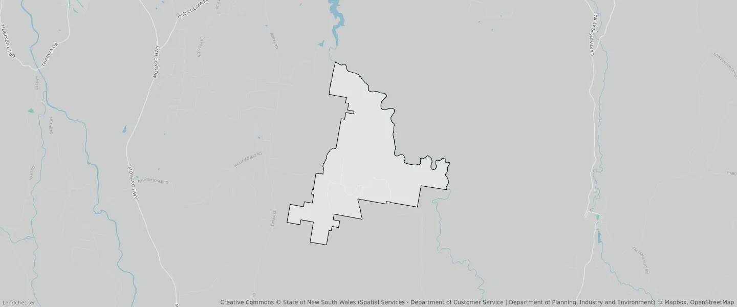
This Urila suburb profile includes demographic data and planning information to help you make an informed property decision.
An average home in Urila is owned with a mortgage by couples without children. The average age in Urila is 52. Separate houses are common in Urila and the area is mostly Primary Production (63.63%), Environmental Living (23.73%) and Infrastructure (10.74%).
Urila demographics
Population
110
Average Age
52
Age Distribution
Employment Type
Median Weekly Income
Traveled to Work
Car
100.0%
Tram
0.0%
Bicycle
0.0%
Train
0.0%
Walking
0.0%
Bus
0.0%
Urila property information
Number of Bedrooms
Tenure Type
Property Types in Urila
Separate house
Semi detached house
Unit/Apartment
Median monthly mortgage repayments
$2,123
Median weekly rental payments
$400
Average number of bedrooms per dwelling
3.4
Average number of people per household
2
Household Composition
Family Composition
Couple family without children
One parent family
Couple family with children
URILA planning zones
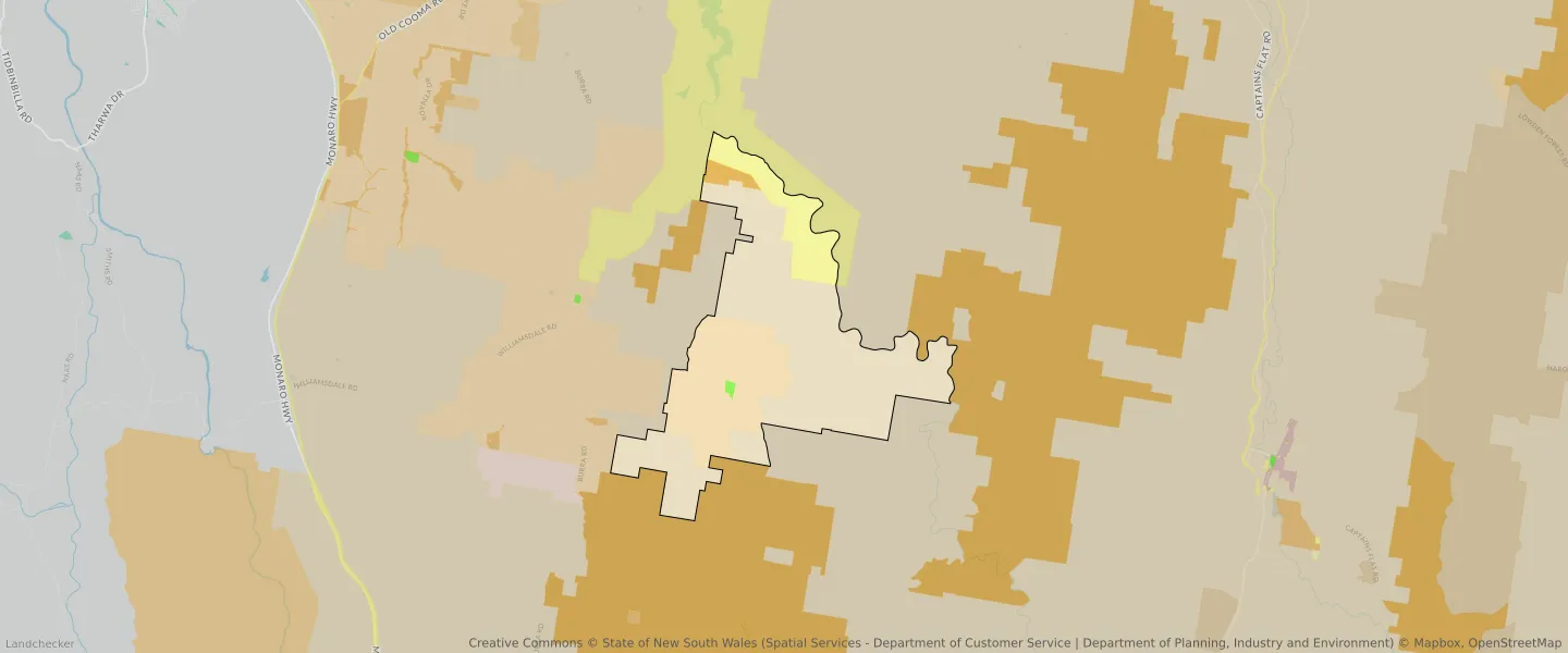
| Zone Code | Zone Name | Percentage Covered | Area Covered | |
|---|---|---|---|---|
| C1 | National Parks and Nature Reserves | 1.68% | 683,568.2㎡ | |
| C1 | National Parks and Nature Reserves | 0% | 11.83㎡ | |
| C4 | Environmental Living | 23.73% | 9,666,126.97㎡ | |
| RE1 | Low Density Residential | 0.22% | 88,387.37㎡ | |
| RU1 | Primary Production | 63.63% | 25,922,514.07㎡ | |
| SP2 | Infrastructure | 10.74% | 4,378,357.99㎡ |
Looking to research a property in URILA?
Go to mapData Source - ABS